Cormac's Drone capabilities go from strength to strength
12 December 2023
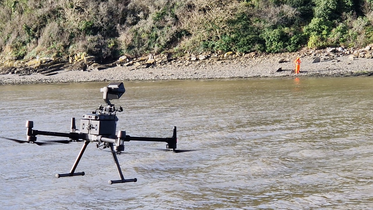
Our CAA-approved team leverages the latest drone technology to provide specialist solutions. They capture accurate geotechnical mapping data and imagery in challenging environments, whilst monitoring the environmental and financial factors of our business. All data collected is processed and made available to clients via AutoCAD drawings and an intuitive cloud platform that enables data interrogation through the use of specific tools that can measure linear features, areas, spot heights, cross sections, and volumes.
Recent news
-

Cormac highlights road worker safety through the 'Home Safe and Well' campaign
12:00 November 17, 2025
-

Cormac celebrates major wins at the 2025 CIRIA Biodiversity Challenge Awards
12:00 September 30, 2025
-

Cormac marks successful first year of partnership with the Environment Agency
10:00 July 22, 2025
-

Cormac wins key projects and expands business across the South West
12:00 May 15, 2025
Find out more
To submit enquires or learn more about our specialisms and projects please complete the form.